Had a real problem yesterday, when testing the use of UK Postcodes and trying to geocode the location using Google Maps API. Turns out that Royal Mail has copyright on the data and does not want everybody to use it.
Found a very useful article at http://www.tomanthony.co.uk/blog/geocoding-uk-postcodes-with-google-map-api/ that gave a very useful solution! The solution is to combine the google maps search with the google AJAX API to do a local search, if the search string 'looks like' a UK postcode. Implemented these changes and we can now reliably find UK postcodes. We need to quickly find locations, as the location is used in our new Sun/Shadow simulation. If you are intested in knowing the exact validation for UK postcodes - have a look http://www.govtalk.gov.uk/gdsc/html/frames/PostCode.htm

Subscribe to:
Post Comments (Atom)
Using Attributes and Colours
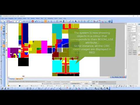
Here I am showing how we can use pattern attributes to display objects using different colours. We are using an attribute called ROOM_USE to...
-
Here I am showing how we can use pattern attributes to display objects using different colours. We are using an attribute called ROOM_USE to...
-
Herewith a quick video showing the event management system available. This is acting behind the scenes to allow different components in the ...
-
Welcome to the CAD Essence Blog (AGAIN)! We will keep you updated with our latest developments on genes1s CAD and related products. The rece...


No comments:
Post a Comment